
South end: SH 470 | Length 5.357 km | |
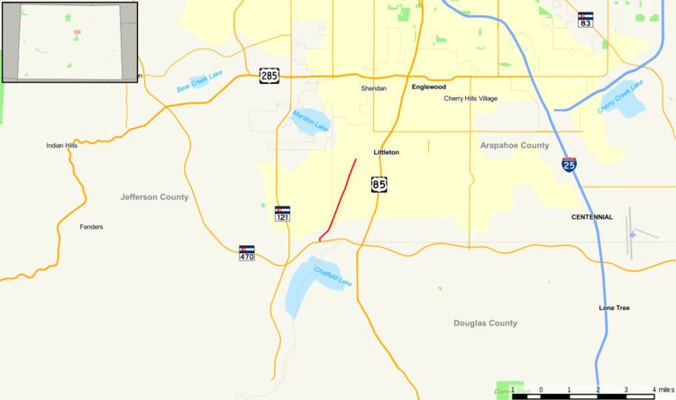 | ||
State Highway 75 is a Colorado highway in Jefferson and Arapahoe counties.
Contents
Map of CO-75, Colorado, USA
Route description
Over a total of 3.329 miles (5.358 km), SH 75 runs northeast on South Platte Canyon Road from a partial interchange with SH 470 to an intersection with Lowell Boulevard and Bowles Avenue in Littleton.
References
Colorado State Highway 75 Wikipedia(Text) CC BY-SA