
Length 266.5 km | ||
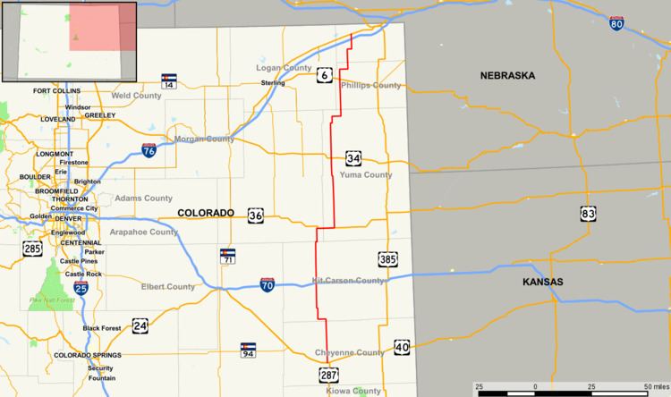 | ||
State Highway 59 is a 165.6 mi (266.5 km) long state highway in eastern Colorado.
Contents
Map of CO-59, Colorado, USA
Route description
SH 59 begins in the south at a junction with U.S. Highway 40 in Kit Carson. From there, the road proceeds northward for 41 miles (66 km) before intersecting Interstate 70 at that highway's exit 405 just south of the Seibert city limits. Highway 59 then continues north through Siebert for another 26 miles (42 km) to join with U.S. Highway 36 just east of Cope. From this point, the route runs eastward concurrently with US 36 for nearly eight miles before splitting off northward again approximately two miles west of Joes and heading north for about 33 miles (53 km) to reach a junction with U.S. Highway 34 at Yuma. Continuing northward, the road then travels for another 37 miles (60 km) to Haxtun where the route intersects U.S. Highway 6. From Haxton, Highway 59 travels north for a further 24 miles (39 km) before crossing Interstate 76 at I-76's exit 165 roughly three miles south of Sedgwick. After three more miles the road reaches its northern terminus at a junction with U.S. Highway 138 at Sedgwick near the Nebraska state line. Through nearly its entire length, the road passes through remote, very sparsely populated agricultural areas.
History
The route was established in the 1920s and paved by 1938.