
Length 18.34 km | ||
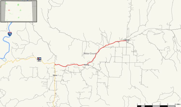 | ||
State Highway 330 is a highway in Mesa County, Colorado.
Contents
Map of CO-330, Collbran, CO 81624, USA
Route description
SH 330 runs 11.4 miles (18.3 km), starting at a junction with State Highway 65, heading east past Molina and ending at Grove Creek Rd. in Collbran.
Major intersections
The entire route is in Mesa County.
References
Colorado State Highway 330 Wikipedia(Text) CC BY-SA