
Length 28.5 km | ||
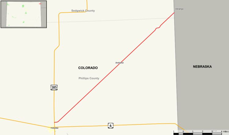 | ||
State Highway 23 is a 17.7 mi (28.5 km) long state highway in the northeastern corner of Colorado. The route begins at its junction with U.S. Highway 385 at Holyoke and travels northeast through Amherst to the Nebraska state line where it becomes Nebraska Highway 23.
Contents
Map of CO-23, Amherst, CO 80721, USA
Route description
The route begins at US 385. After sixteen miles of crossing various roads without entering any incorporated cities, it exits Phillips County and enters Sedgwick County. About a mile later, it reaches the Colorado-Nebraska state line and becomes Nebraska Highway 23.
History
The route was formerly numbered as SH 176. However, it was changed to match the Nebraska highway number at its northeast end because both SH 176 and I-76 traversed through the same general region of the state.
References
Colorado State Highway 23 Wikipedia(Text) CC BY-SA