
Length 59.7 km | ||
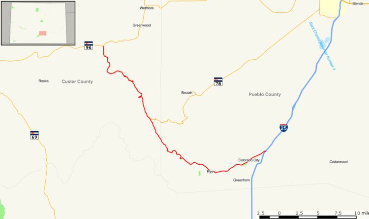 | ||
State Highway 165 (SH 165) is a 37.1-mile (59.7 km) state highway in southern Colorado.
Contents
Map of CO-165, Colorado, USA
Route description
SH 165 begins in the west at a junction with State Highway 96 roughly fifteen miles east of Silver Cliff. From there the road proceeds to the southeast through portions of San Isabel National Forest. One notable attraction on the route is Bishop Castle, about 12 miles (19 km) south of SH 96.
After Fairview, the highway meets the southwest end of State Highway 78 near San Isabel, through which SH 165 also passes. After San Isabel, the highway turns more nearly easterly and passes out of the national forest and though Rye. The route continues east through Colorado City before reaching its eastern terminus at exit 74 of Interstate 25.
References
Colorado State Highway 165 Wikipedia(Text) CC BY-SA