
Counties: Baca | Length 51.8 km | |
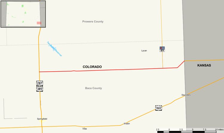 | ||
East end: W Road 12 at Kansas state line | ||
State Highway 116 (SH 116) is a fairly isolated state highway that runs from the Kansas state line (W Road 12) in the southeastern corner of the state.
Contents
Map of CO-116, Colorado, USA
Route description
The highway gives service though very rural country in Baca County through Two Buttes to the junction with US 287 and US 385 about 7 miles north of Springfield. The highway's maintenance is served by Two Buttes, the only town on its route. The town is the largest town for many miles in any direction.
Major intersections
The entire route is in Baca County.
References
Colorado State Highway 116 Wikipedia(Text) CC BY-SA