
Counties: Logan | Length 30.3 km | |
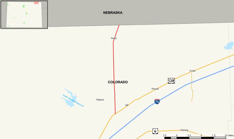 | ||
State Highway 113 (SH 113) is an 18.8-mile-long (30.3 km) state highway in northeastern Colorado. It runs from U.S. Highway 138 (US 138) in rural Logan County north to Nebraska Highway 19 (N-19) at the Nebraska state line.
Contents
Map of CO-113, Colorado, USA
Route description
SH 113 begins at a junction with US 138 approximately nine miles (14 km) northeast of Sterling and proceeds north for almost 16 miles (26 km) before passing though the small town of Peetz and continuing a further three miles (4.8 km) northeast to the Nebraska state line, where the road becomes N-19.
History
The route was established in the 1920s with its current routing from U.S. Highway 138 to Nebraska Highway 19 at the Nebraska state line. The route was entirely paved by 1939. Since then, there have been no major alignment changes in the routing.
Major intersections
The entire route is in Logan County.