
Length 44.74 km | ||
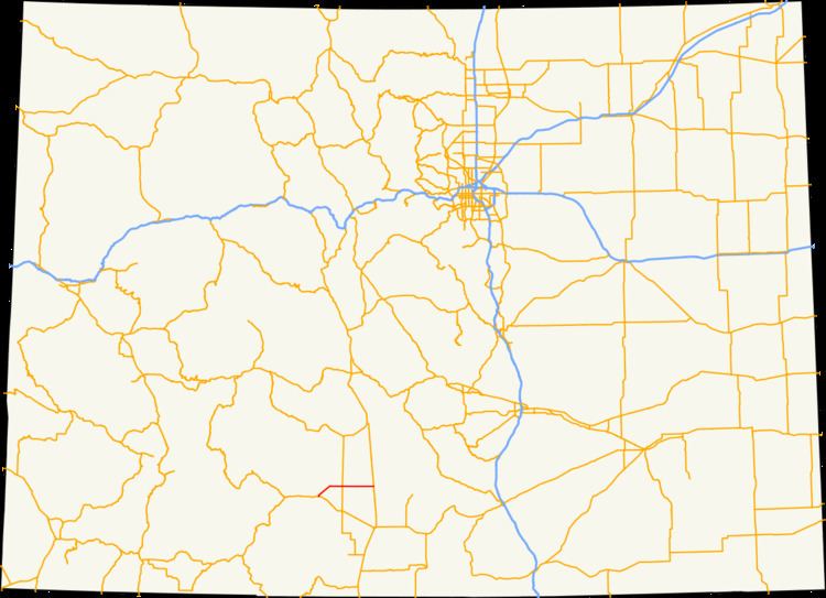 | ||
State Highway 112 (SH 112) is a 27.802-mile-long (44.743 km) state highway in southern Colorado. Built in 1916 and formally defined in 1922, the route begins at its western end in Del Norte at a junction with U.S. Highway 160 (US 160). From there the road travels east crossing US 285 two miles (3.2 km) west of Center before reaching its eastern terminus at Hooper where it meets SH 17.
Contents
Map of CO-112, Colorado, USA
Route description
The route begins at US 160 in central Del Norte. Here, it begins northward along Oak Street before crossing the Rio Grande, where the route exits the city and curves northeastward. The highway then straddles the Rio Grande – Saguache county line as it travels in a northeasterly direction. Soon, it intersects County Route 374, which traverses east all the way to US 285. The route then suddenly curves eastward when it meets Twelve Mile Road. As the route continues to meet numerous county roads along its length, the land along the side of the road transitions from plain grassland to circular-shaped fields of crops. The route meets US 285 approximately twelve miles east of Del Norte.
East of US 285, the route enters the town of Center, where it skirts the south side of town as 8th Street. Here, it meets a railroad that connects the town to Sugar Junction farther south. The route moves east through farmland, where it meets County Road 100, which continues south to SH 15. It then skirts along the county line all the way east to SH 17 at the north side of Hooper.
History
In 1916, a 12-mile (19 km) gravel road numbered as 10-S ran from Center to Hooper. Another unsurfaced part of the road continued to Alamosa from Hooper. By the late 1910s, the Highway Department of Colorado had built State Highway 68, which ran from Del Norte to SH 36. When built, the route had a five-mile (6.0 km) gap along the Rio Grande – Saguache county line, on which work began in the 1920s. In 1922, SH 68 was renumbered as SH 112 from Del Norte to Hooper.
By 1930, SH 112 had been paved from Del Norte to the county line. Because the residents of San Luis Valley sought better roads, the Department of Highways began improving SH 112 around the area, but the highway was not fully surfaced until 1946. The next year, Rio Grande and Saguache counties paid to resurface the rest of the road in asphalt. Since 1947, there have been no major realignments in the routing.