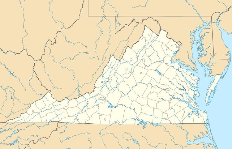
NRHP Reference # 02000532 Designated VLR June 13, 2001 Year built 1903 | VLR # 122-0825 Area 82 ha Added to NRHP 22 May 2002 | |
 | ||
Location Roughly bounded by the Lafayette R., Knitting Mill Creek, East Haven Creek and 38th St., Norfolk, Virginia Architect Dillard, George; et al. Architectural style Queen Anne, Colonial Revival, et al. | ||
Colonial place homes for sale virginia place norfolk real estate near odu 209 w 38th st
Colonial Place is a residential neighborhood in Norfolk, Virginia. It is a peninsula bordered by 38th Street on the south, and surrounded on three sides by the Lafayette River. It is a relatively racially mixed area that includes mostly single family homes and a few apartment buildings. Many large homes front the water and Mayflower Road arches around the shore of the river.
Contents
- Colonial place homes for sale virginia place norfolk real estate near odu 209 w 38th st
- Map of Colonial Place Norfolk VA 23508 USA
- Colonial place homes for sale realtor 4515 newport avenue norfolk va real estate near odu
- References
Map of Colonial Place, Norfolk, VA 23508, USA
The Colonial Place Historic District is a national historic district listed on the National Register of Historic Places in 2002. It encompasses 1,090 contributing buildings and 4 contributing sites in a primarily residential section of Norfolk. It is a middle-class and upper middle-class residential neighborhood that largely developed during the period 1903-1941. The neighborhood includes notable examples of the Queen Anne and Colonial Revival styles. Notable buildings include the Richard W. Peatross House (1908), Taylor House (1908) and Stuart Elementary School.
