
Country France Canton Levens Population (2008) 3,226 Local time Thursday 6:37 AM | Area 6.72 km² Arrondissement Nice | |
 | ||
Weather 8°C, Wind NW at 10 km/h, 66% Humidity | ||
Colomars (Nissart: Couloumas) is a commune in the Alpes-Maritimes département in the Provence-Alpes-Côte d'Azur region in southeastern France.
Contents
Map of 06670 Colomars, France
Inhabitants of Colomars are called Colomarsois. Colomars is a part of the Pays Niçois. The local dialect is Nissart.
Geography
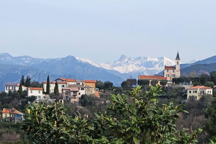
Colomars is a residential area, located in a valley between Var to the west and Mont Chauve to the east. There are many pines and olive trees in the centre of the village. The fortress in Colomars was built in 1880 and the Sirole chapel was inaugurated in 1857.
History
Colomars was founded in 1070 by the monastery of Saint-Pons for the children of Raimbaud de Nice and Rostaing de Gréolièrs. A decree signed on 2 June 1874 by Maréchal de Mac Mahon separated Colomars, Aspremont and Castagniers into three separate villages. The municipality has celebrated 125 years of age on 19 September 1999.
Administration
The current mayor of Colomars is Isabelle Brès, since March 2008.
Tourism
Colomars is one of thirteen villages grouped together by the Communauté d'agglomération de Nice-Côte d'Azur tourist department as the Route des Villages Perchés (Route of Perched Villages). The others are: Aspremont, Castagniers, Coaraze, Duranus, Èze, Falicon, La Gaude, La Roquette, Levens, Saint-Blaise, Saint-Jeannet and Tourrette-Levens.