
Elevation 0 m (0 ft) Area 27,948 km² Local time Thursday 12:54 AM | Region Central-West Founded November 26, 1998 Time zone UTC-4 (UTC-4) Population 29,636 (2008) | |
 | ||
Weather 24°C, Wind NW at 5 km/h, 94% Humidity | ||
Colniza is an agricultural municipality in the state of Mato Grosso, Brazil.
Contents
Map of Colniza - State of Mato Grosso, Brazil
Demographics
Colniza has the highest homicide rate in Brazil with 165 deaths per year per 100 thousand inhabitants. It is the westernmost and largest (by area) municipality of the state.
Conservation
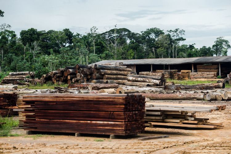
The municipality of Colniza has a mosaic of conservation units consisting of the Rio Madeirinha Ecological Station, the Rio Roosevelt Ecological Station, the Tucumã State Park and the Guariba-Roosevelt Extractive Reserve. Satellite monitoring showed that Colniza had the highest level of deforestation in Mato Grosso in the six years from 2010 to 2016, with 78,556 hectares (194,120 acres) cleared, most of it illegally. Rates of deforestation rose successively in 203, 2014 and 2015.
The 13,683 hectares (33,810 acres) Rio Madeirinha Ecological Station is a fully protected environmental unit created in 1997. The 96,925 hectares (239,510 acres) Rio Roosevelt Ecological Station is a strictly protected conservation unit created in 1997. The 164,224 hectares (405,810 acres) Guariba-Roosevelt Extractive Reserve is a sustainable use unit created in 1996. The municipality also contains 3,641 hectares (9,000 acres) of the Campos Amazônicos National Park, a 961,318 hectares (2,375,470 acres) protected area created in 2006 that protects an unusual enclave of cerrado vegetation in the Amazon rainforest. It contains 44% of the 227,817 hectares (562,950 acres) Igarapés do Juruena State Park, created in 2002.