Country United Kingdom | ||
 | ||
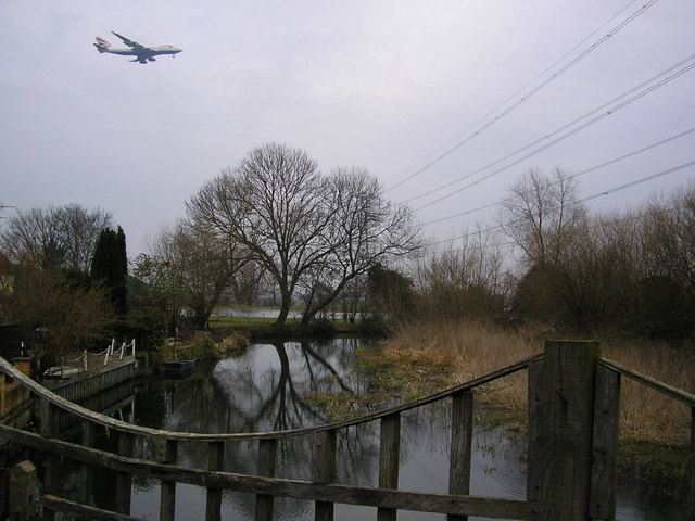
The Colne Brook is a river in England that is a distributary of the River Colne which runs from Uxbridge Moor, there forming the western border of Greater London, to the River Thames just below Bell Weir Lock in Hythe End, Wraysbury, Berkshire.
Contents
Map of Colne Brook, United Kingdom
Detailed CourseEdit
On leaving the Colne at Uxbridge Moor in the Colne Valley regional park, the Colne Brook flows close by to the west until West Drayton then passes under the M25 motorway at the M4 "Thorney interchange", enters Berkshire and flows through the village of Colnbrook. South of Colnbrook it receives a proportion of water from the Poyle Channel — after which the remainder of the Poyle Channel becomes the Wraysbury River — then the Brook runs between Horton's centre and another residential part of Horton on Coppermill Road adjoining Wraysbury Reservoir. Colne Brook then enters the Royal Borough of Windsor and Maidenhead, passes Wraysbury railway station then adjoins lakes made of former gravel pit at Wraysbury which make up a Site of Special Scientific Interest, before running into the River Thames between the M25 Runnymede Bridge and nearby Bell Weir Lock.
