
Area 2.175 sq mi (5.63 km) OS grid reference TQ028769 Local time Thursday 4:47 AM | Population 6,157 (2011) Dialling code 01753 | |
 | ||
Weather 12°C, Wind W at 16 km/h, 88% Humidity | ||
Colnbrook with Poyle is a civil parish in the borough of Slough in Berkshire, England. Located approximately 17 miles (27 km) west of central London and adjacent to the Greater London boundary, it is an urbanised parish with some industrial development and open land. The local council is Colnbrook with Poyle Parish Council. The parish was created on 1 April 1995 as an amalgamation of Colnbrook from the parish of Iver with Poyle from an unparished area. At the 2001 census it had a population of 5,426.
Contents
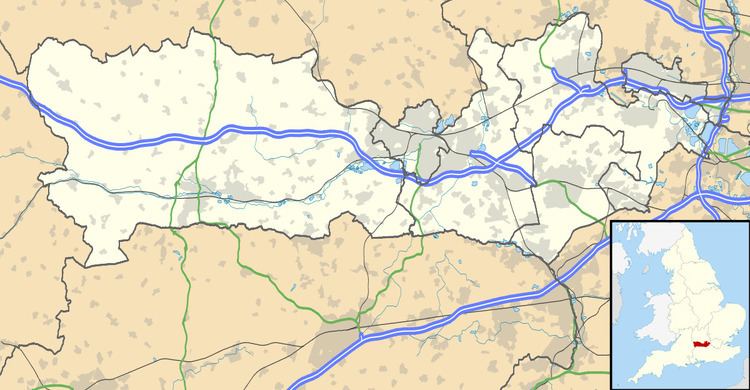
Map of Colnbrook with Poyle, UK
History
The parish was formed on 1 April 1995. Most of Colnbrook had been from 1974 in the parish of Iver in South Bucks district in Buckinghamshire, and before 1974 had been mostly in the parish of Horton, with small areas in Langley Marish. Poyle had been in the unparished borough of Spelthorne in Surrey (before 1974 forming part of the Staines Urban District of Surrey which had transferred from Middlesex in 1965). The new parish became part of Berkshire, and was the last boundary change before Berkshire County Council was abolished in 1998 and replaced by several unitary authorities.
Geography
It is at the eastern end of the borough of Slough, and is just to the west of the M25 motorway, which separates the parish from Heathrow Airport in the London Borough of Hillingdon in Greater London.