
Population 514 (2011 Census) Civil parish Collyweston UK parliament constituency Corby | OS grid reference SK996030 Sovereign state United Kingdom Local time Thursday 4:16 AM Dialling code 01780 | |
 | ||
Weather 8°C, Wind SW at 16 km/h, 96% Humidity | ||
Raf satellite station abandoned in collyweston
Collyweston is a village and civil parish about three miles south-west of Stamford on the road (A43 road) to Kettering. The population of the civil parish at the 2011 census was 514.
Contents
- Raf satellite station abandoned in collyweston
- Map of Collyweston Stamford UK
- Geography
- Nature reserve
- History
- References
Map of Collyweston, Stamford, UK
Geography
The village is on the southern side of the Welland valley east of Tixover. The River Welland, at the point nearby to the north-west, is the boundary between Rutland and Northamptonshire. British Railways closed Ketton and Collyweston railway station in 1966. Collyweston is currently served by buses on the Stamford to Peterborough via Duddington route. The Jurassic Way and Hereward Way pass through the village to the north, crossing the Welland at Collyweston Bridge, near Geeston.
The A47 passes through the parish to the south, with Collyweston Great Wood to the south. The road from the A47, continuing in a straight line to the village is called Kingscliffe Road.
Nature reserve
The local Wildlife Trust has a fifteen-acre nature reserve at Collyweston Quarries where Lincolnshire limestone was quarried, to the north of the A43. This has the pyramidal orchid, common dodder, greater knapweed, common rock-rose, common bird's foot trefoil, and clustered bellflower. Birds found there include the European green woodpecker and glowworms are found there in the summer.
There is also an SSSI at Collyweston Great Wood.
History
Collyweston Palace which had been the home of Lady Margaret Beaufort, Countess of Richmond and mother of Henry VII, was dismantled about 1640.
An alternative name for the village may be "Colyns Weston", in 1396.
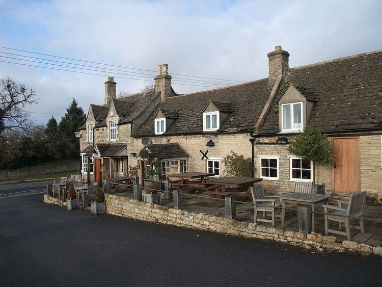
A pub there is called The Collyweston Slater, an Everard's pub, on Main Road. New houses have been built down a road called Collyns Way. The parish church is St Andrew.
In the late sixteenth century, the town gave its name to the manner of wearing the mandilion 'Colley-Weston-ward' for unknown reasons.