
Type SR Length 13.1 mi (21.1 km) | Maintained by FDOT | |
 | ||
Similar South Beach, Lincoln Road, South Pointe Park, Fontainebleau Miami Beach, Holocaust Memorial of the Gre | ||
Driving downtown collins avenue miami beach florida usa
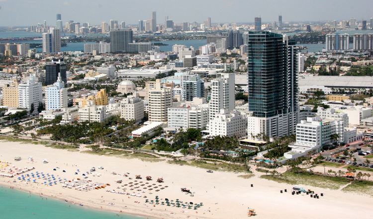
Collins Avenue, partly co-signed State Road A1A, runs parallel to the Atlantic Ocean in Miami Beach, Florida, one block west. Collins Avenue was named for John S. Collins a developer who in 1913 completed the first bridge, Collins Bridge, connecting Miami Beach to the mainland across Biscayne Bay.
Contents
- Driving downtown collins avenue miami beach florida usa
- Map of Collins Ave Florida USA
- Background
- Events
- References
Map of Collins Ave, Florida, USA
Background
Collins Avenue is home to many historic Art Deco hotels, and several nightclubs to the north.
North of 41st Street this boulevard lies between the Atlantic Ocean and the Indian Creek, lined by palm trees, and famous hotels from the 1950s and 1960s such as the Eden Roc and the Morris Lapidus-designed Fontainebleau Hotel, built in the curvy, flamboyant Neo-baroque fashion that defined the 1950s 'Miami Beach' resort hotel style.
Events
The annual Miami International Boat Show occurs on Collins Avenue.