
Country United States FIPS code 36-17046 Elevation 411 m Population 5,232 (2010) Area code 607 | State New York Time zone Eastern (EST) (UTC-5) GNIS feature ID 0978851 Zip code 13787 Local time Wednesday 4:07 PM | |
 | ||
Weather 10°C, Wind W at 32 km/h, 27% Humidity Area 205.1 km² (202.8 km² Land / 207 ha Water) | ||
Colesville is a town in Broome County, New York, United States. The population was 5,232 at the 2010 census.
Contents
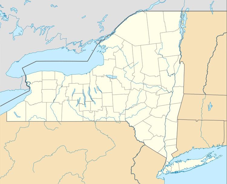
- Map of Colesville NY USA
- History
- Geography
- Demographics
- Government
- Communities and locations in Colesville
- References
Map of Colesville, NY, USA
The town is in the northeast part of the county and is northeast of Binghamton.
History
The area was first settled around 1785. The Town of Colesville was established in 1821 from part of the town of Windsor. Robert Harpur, an early developer, has lent his name to the community of Harpursville. He is believed to be responsible for the many classical names assigned to communities in central New York.
Geography
According to the United States Census Bureau, the town of Colesville has a total area of 79.2 square miles (205.1 km2), of which 78.3 square miles (202.9 km2) is land and 0.81 square miles (2.1 km2), or 1.04%, is water.
The north town line is the border of Chenango County. The Susquehanna River flows southward through the town.
Interstate 88 passes across the town. New York State Route 7 and New York State Route 79 are important highways in Colesville. New York State Route 235 connects with state route 7 north of Harpursville to State Route 206 in the town of Coventry, Chenango County.
Demographics
As of the census of 2000, there were 5,441 people, 1,944 households, and 1,458 families residing in the town. The population density was 69.3 people per square mile (26.8/km²). There were 2,189 housing units at an average density of 27.9 per square mile (10.8/km²). The racial makeup of the town was 97.85% White, 0.29% African American, 0.31% Native American, 0.35% Asian, 0.06% Pacific Islander, 0.02% from other races, and 1.12% from two or more races. Hispanic or Latino of any race were 0.74% of the population.
There were 1,944 households out of which 36.3% had children under the age of 18 living with them, 58.4% were married couples living together, 10.8% had a female householder with no husband present, and 25.0% were non-families. 19.2% of all households were made up of individuals and 6.8% had someone living alone who was 65 years of age or older. The average household size was 2.79 and the average family size was 3.11.
In the town, the population was spread out with 29.4% under the age of 18, 6.5% from 18 to 24, 28.7% from 25 to 44, 23.9% from 45 to 64, and 11.4% who were 65 years of age or older. The median age was 37 years. For every 100 females there were 100.0 males. For every 100 females age 18 and over, there were 98.6 males.
The median income for a household in the town was $38,444, and the median income for a family was $40,333. Males had a median income of $31,462 versus $22,917 for females. The per capita income for the town was $15,816. About 6.7% of families and 10.3% of the population were below the poverty line, including 11.8% of those under age 18 and 9.5% of those age 65 or over.
Government
The current town supervisor is Glenn S. Winsor (Republican).