
- location under Lapunya Mount - elevation 0 m (0 ft) | - elevation 229 m (751 ft) | |
 | ||
- right King River (Queensland), Lukin River - location south of Pormpuraaw, Cape York | ||
The Coleman River is a river located on the Cape York Peninsula in Far North Queensland, Australia.
Contents
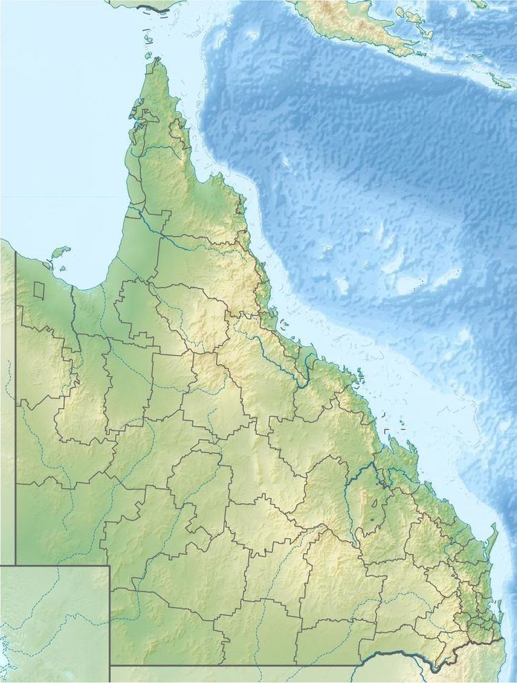
Map of Coleman River, Queensland, Australia
Course and features
Formed by the confluence of the Little Coleman River and Big Coleman River, the headwaters of the river rise under Lapunya Mount near The Lagoons in the Great Dividing Range and initially flows south. It flows past the Curlew Range and then turns west across the Boomerang Plain eventually discharging into the Gulf of Carpentaria between the mouth of the Mitchell River to the south and the settlement of Pormpuraaw to the north. From source to mouth, the Coleman River is joined by six tributaries including the King River and the Lukin River, and descends 234 metres (768 ft) over its 399-kilometre (248 mi) course.
The catchment area occupies 12,862 square kilometres (4,966 sq mi) and contains no major towns, the Archer River drainage basin bounds the catchment to the north and the Mitchell River Catchment to the south The river has a mean annual discharge of 520 gigalitres (1.8×10¹⁰ cu ft).
A total of 46 species of fish have been found in the river, including the Sailfin glassfish, Barred Grunter, Shovel-nosed catfish, Bigeye Trevelly, Fly-specked hardyhead, Golden Gudgeon, Pennyfish, Mouth Almighty, Barramundi, Oxeye herring, Rainbowfish and Seven sopt Archerfish
The river was named by the explorer William Hann in 1872.