
County Tippecanoe Founded 1858 Elevation 202 m Local time Wednesday 9:41 AM | State Indiana Township Washington Founder Jacob H. Chapman Zip code 47905 Area code 765 | |
 | ||
Weather 8°C, Wind SW at 29 km/h, 53% Humidity | ||
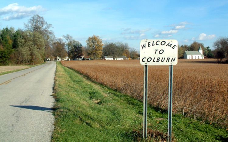
Colburn is a small unincorporated census-designated place in northeastern Washington Township, Tippecanoe County, in the U.S. state of Indiana.
Contents
Map of Colburn, IN 47905, USA
It is part of the Lafayette, Indiana Metropolitan Statistical Area.
History
Colburn was originally called Chapmanville.
A post office was established at Colburn in 1860, and remained in operation until it was discontinued in 1988.
Geography
Colburn is located at 40°31'07" North, 86°42'51" West (40.518611, -86.714167) in Washington Township, at an elevation of 662 feet. Nearby communities include Lafayette (12 miles southwest), Delphi (6 miles north), Buck Creek (4 miles south) and Americus (3.5 miles west).
References
Colburn, Indiana Wikipedia(Text) CC BY-SA