
Country Canada Established 1839 Local time Wednesday 10:38 AM Province New Brunswick | County Restigouche Time zone AST (UTC-4) Population 202 (2011) | |
 | ||
Weather -2°C, Wind E at 8 km/h, 97% Humidity | ||
Colborne is a Canadian parish in Restigouche County, New Brunswick.
Contents
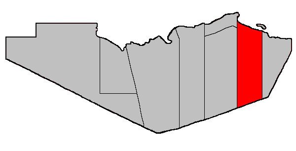
Map of Colborne, NB, Canada
Delineation
Colborne Parish is defined in the Territorial Division Act as being bounded:
West by Dalhousie and Balmoral Parishes; south by the County line; east by a line running true south from the mouth of Benjamin River, and north by Chaleur Bay including Heron Island and all the other islands in front.Communities
Parish population total does not include incorporated municipalities (in bold or italics).
Access Routes
Highways and numbered routes that run through the parish, including external routes that start or finish at the parish limits:
References
Colborne Parish, New Brunswick Wikipedia(Text) CC BY-SA