
Postal code 2705 | Region Lisbon Metropolitan area Lisbon Local time Wednesday 2:20 PM | |
 | ||
Weather 23°C, Wind S at 11 km/h, 51% Humidity Points of interest Pena Palace, Quinta da Regaleira, Cabo da Roca, Palace of Sintra, Castle of the Moors | ||
Colares ([kuˈlaɾɨʃ]) is a civil parish along the coast of the municipality of Sintra. The population in 2011 was 7,628, in an area of 33.37 square kilometres (12.88 sq mi).
Contents
Map of Colares, Portugal
History
Even before there was a "Portugal", the region of Colares was a place of human movement and settlement. By the Roman occupation of the Iberian peninsula, the architecture of Colares was carved by Latin inscriptions, such as one found near the mouth of the Maçãs River: SOLI ET LUNAE CESTIVIUS ACIDIVIS PERENNIS LEG. AVG. PR. PR. PROVINCIAE LUSITANAE.
It was conquered and held by Sigurd I of Norway for a few months in 1108 in the Norwegian Crusade.
After a period of Moorish occupation, forces loyal to Afonso Henriques conquered the region, as a sequence of their victory in Sintra, around 1147 The region remained in the hands of the Crown until 1385, when it was donated by John I to the constable Nuno Álvares Pereira to compensate the mercenary for his support against Castile.
These lands returned to the crown following the death of Infanta Beatriz, mother of Manuel I.
The historical village of Colares, which was important in the nation's pre-history, obtained a foral early after its creation. The parish of Nossa Senhora da Assunção was a bishopric rectory in the old comarca of Torres Vedras, and Colares was the seat of its own municipality, attributed to King Afonso III, in May 1255. A new foral was issued on 10 November 1516 by Manuel I.
In 1801, the municipality of Colares included 1930 inhabitants, and by 1849, it already had 3341 inhabitants.
During administrative reforms, on 24 October 1855, the municipality of Colares was extinguished and the territory integrated into the municipality of Sintra, as a civil parish.
Geography
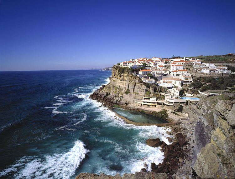
The civil parish is located on the western coast of Portugal, and marked by Europe's extreme western extent: Cabo da Roca. Its contains the settlements Almoçageme, Atalaia, Azenhas do Mar, Azóia, Colares, Eugaria, Gigarós, Mucifal, Penedo, Praia das Maçãs and Ulgueira.