
Elevation 3,734 m (12,251 ft) Area 451 km² | Time zone China Standard (UTC+8) | |
 | ||
Coka (Chinese: 草卡; pinyin: Cǎokǎ; Standard Tibetan: ???) is a town in Banbar County, Chamdo Prefecture, in the east of the Tibet Autonomous Region, China. It lies just 5 km (3.1 mi) to the southwest of Banbar, and is serviced by Tibet Regional Highway 303 (S303). The administrative division covers an area of 451 km2 (174 sq mi), and as of 2004 had a population of 4,000.
Contents
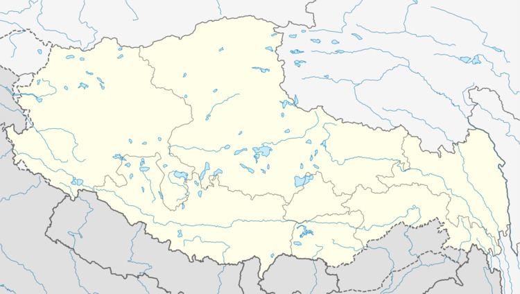
Map of Caokazhen, Banbar, Qamdo, Tibet, China
Administrative divisions
The township contains the following village-level divisions:
References
Coka, Tibet Wikipedia(Text) CC BY-SA