
Founded January 8, 1836 Area 1,127 km² University Love Beauty School, Inc. | Congressional district 6th Website coffeecountytn.org Population 53,357 (2013) Unemployment rate 4.9% (Apr 2015) | |
 | ||
Rivers Garrison Fork, Beans Creek, Noah Fork, Brumalow Creek | ||
Coffee County is a county located in the south central part of the U.S. state of Tennessee. As of the 2010 census, the county's population was 52,796. Its county seat is Manchester.
Contents
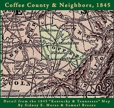
- Map of Coffee County TN USA
- History
- Century Farms
- Geography
- Adjacent counties
- Major highways
- State protected areas
- Demographics
- Events
- Points of interest
- Cities
- Census designated places
- Unincorporated communities
- References
Map of Coffee County, TN, USA
Coffee County is part of the Tullahoma-Manchester, TN Micropolitan Statistical Area.
History
Coffee County was formed in 1836 from parts of Bedford, Warren, and Franklin counties. It was named for John Coffee, an early European-American settler.
Century Farms
Coffee County has twelve Century Farms, the classification for farms that have been operating for more than 100 years. The oldest Century Farm is Shamrock Acres, founded in 1818. Other Century Farms include:
Geography
According to the U.S. Census Bureau, the county has a total area of 435 square miles (1,130 km2), of which 429 square miles (1,110 km2) is land and 5.6 square miles (15 km2) (1.3%) is water.
Adjacent counties
Major highways
State protected areas
Demographics
As of the census of 2000, there were 48,014 people, 18,885 households, and 13,597 families residing in the county. The population density was 112 people per square mile (43/km²). There were 20,746 housing units at an average density of 48 per square mile (19/km²). The racial makeup of the county was 93.43% White, 3.59% Black or African American, 0.30% Native American, 0.74% Asian, 0.03% Pacific Islander, 0.91% from other races, and 1.00% from two or more races. 2.19% of the population were Hispanic or Latino of any race.
There were 18,885 households out of which 32.40% had children under the age of 18 living with them, 56.90% were married couples living together, 11.10% had a female householder with no husband present, and 28.00% were non-families. 24.30% of all households were made up of individuals and 10.30% had someone living alone who was 65 years of age or older. The average household size was 2.50 and the average family size was 2.96.
In the county, the population was spread out with 25.10% under the age of 18, 8.30% from 18 to 24, 28.40% from 25 to 44, 23.60% from 45 to 64, and 14.60% who were 65 years of age or older. The median age was 38 years. For every 100 females there were 95.10 males. For every 100 females age 18 and over, there were 92.30 males.
The median income for a household in the county was $34,898, and the median income for a family was $40,228. Males had a median income of $32,732 versus $21,014 for females. The per capita income for the county was $18,137. About 10.90% of families and 14.30% of the population were below the poverty line, including 17.80% of those under age 18 and 15.20% of those age 65 or over.
Events
The Bonnaroo Music Festival has been held annually in the county since 2002.