
Country Colombia Elevation 1,300 m Local time Wednesday 2:03 AM | Region Andean Region Area 210 km² Population 21,552 (2002) | |
 | ||
Website www.cocorna-antioquia.gov.co Weather 21°C, Wind W at 5 km/h, 98% Humidity | ||
Cocorná is a municipality in the Colombian department of Antioquia. Part of the subregion of Eastern Antioquia.
Contents
Map of Cocorn%C3%A1, Antioquia, Colombia
Geography
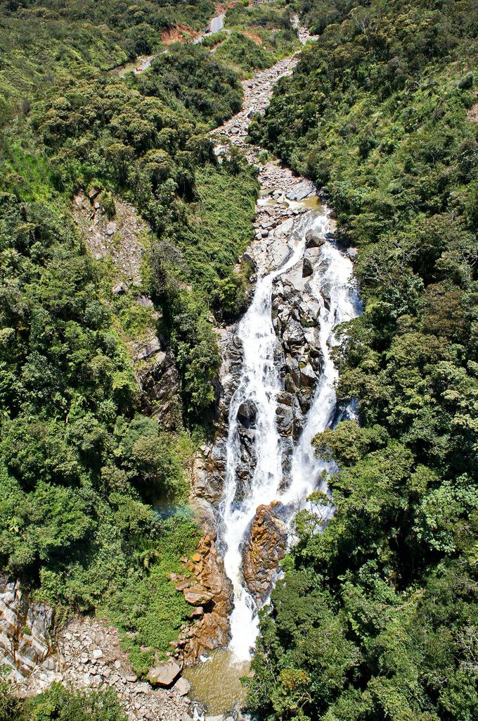
It has an extension of 210 km², with a mountainous territory, with great extensions of forest, and with many important rivers. La extención, medida con planimetro por la Oficina de Planeación Departamental cuando se separo San Francisco, es de 257.5 km². La extención, medida en Cornare, sin definir los problemas limítrofes es de 257 km². Estos datos son más verídicos pues quienes dicen que la extención es de 210 km² se basan en una simple resta del área inicial de 1050 km² menos las área segregadas desde 1853.
Economy
Roads
Is 90 km away from Medellín, 1 hour and a half in car, by an excellent road. It also has roads to the Corregimiento La Piñuela, and the municipalities of San Francisco and Granada.
Tourism
Cocorná has been since the 1980s a touristic place for many people, and since 2006, the government, believing in the all the potential Cocorná has for it, has been sponsoring economical investments in the area.
New hotels, and many projects that involve new jobs, are the result of that.