
 | ||
Similar Nympsfield Long Barrow, Uley Long Barrow, Crickley Hill and Barrow W, Haresfield Beacon, Woodchester Mansion | ||
Timelapse coaley peak picnic site sunset
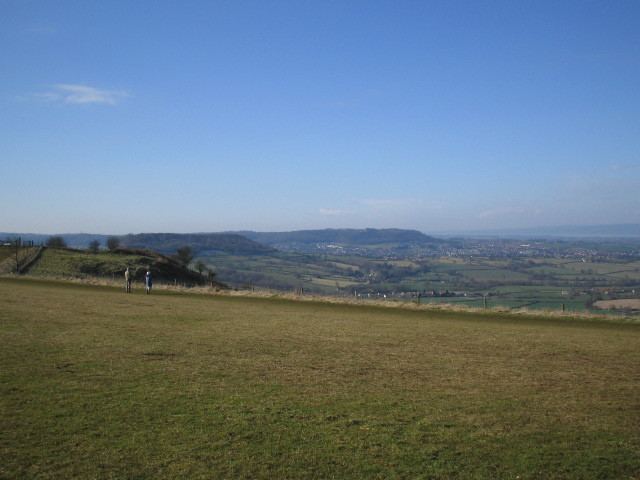
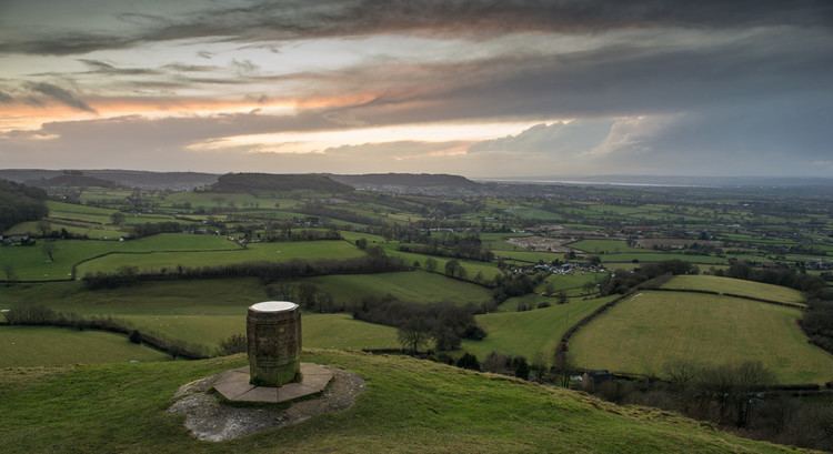
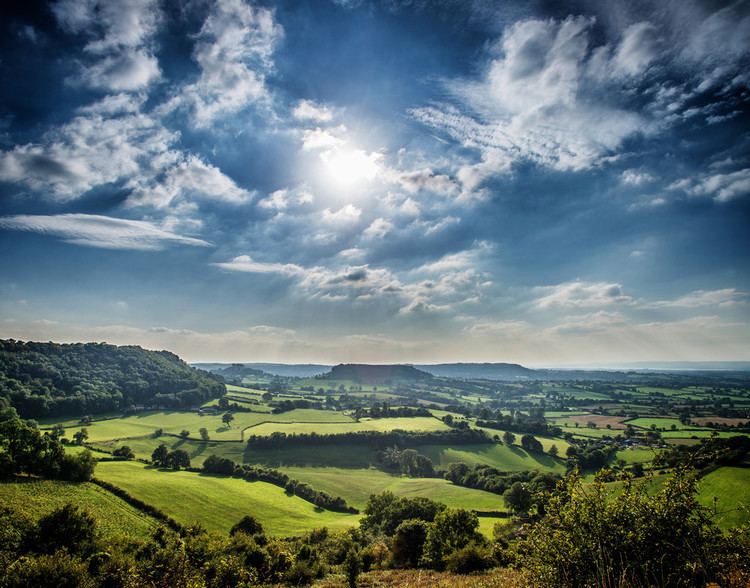
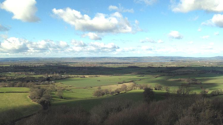
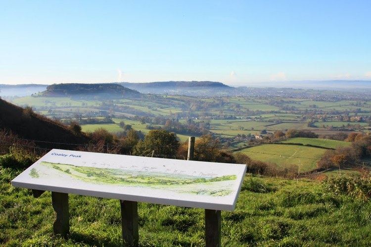
Coaley Peak is a picnic site and viewpoint in the English county of Gloucestershire.
Contents
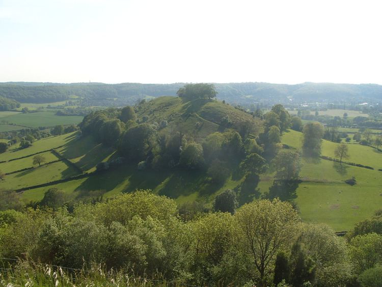
Located about 4 miles (6.4 km) south-west of the town of Stroud overlooking the village of Coaley, Coaley Peak offers 12 acres (4.9 ha) of reclaimed farmland (now a wild flower meadow) with views over the Severn Vale and the Forest of Dean. It is next to a Woodland Trust beech wood and the National Trust's Frocester Hill site. The Cotswold Way long-distance footpath passes through the site. The site includes the excavated Neolithic burial site Nympsfield Long Barrow.
Coaley Peak was for many years a seasonal home to a community of new age travellers, who were evicted around 2002 to make way for more grassland.
Drive from nailsworth to coaley peak viewpoint
References
Coaley Peak Wikipedia(Text) CC BY-SA