
Primary inflows Basin countries Canada Max. width 0.66 km (0.41 mi) Area 10.9 km² Length 11 km | Max. length 11 km (6.8 mi) Surface area 10.9 km (4.2 sq mi) Surface elevation 719 m Mean depth 3.5 m | |
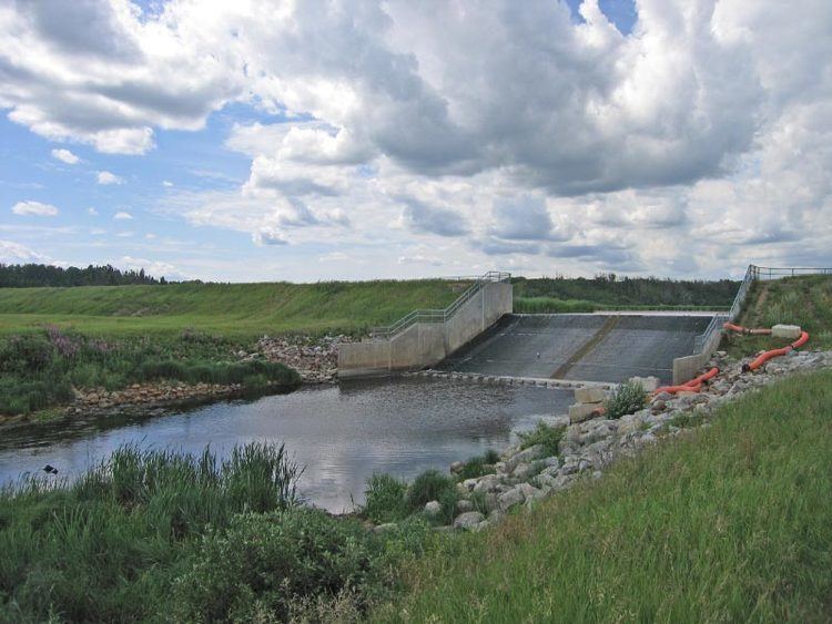 | ||
Outflow location Pipestone Creek, Battle River | ||
Coal Lake is a long, sinuous lake located approximately 60 km (37 mi) southeast of the city of Edmonton, just northeast of the city of Wetaskiwin. The lake is glacial meltwater channel from the last ice age.
Map of Coal Lake, Alberta, Canada
The lake starts east of Kavanagh, Alberta, and ends near Gwynne, Alberta. Coal Lake was named in 1892 by J.D.A. Fitzpatrick, a Dominion Land Surveyor, for the coal beds present in many places along the northeast shore.
References
Coal Lake (Alberta) Wikipedia(Text) CC BY-SA