
Quadrant SW Established 1979 Elevation 1,215 m Local time Tuesday 2:44 PM | Ward 6 Annexed 1956 Area 110 ha Population 3,308 (2006) Mayor Naheed Nenshi | |
 | ||
Weather -9°C, Wind NE at 8 km/h, 60% Humidity | ||
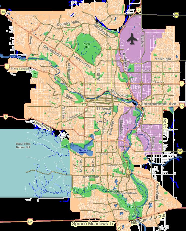
Coach Hill is a residential neighbourhood in the south-west quadrant of Calgary, Alberta. It is bounded by Sarcee Trail to the east, Bow Trail to the south, 69 Street to the west and Old Banff Coach Road to the north.
Contents
Map of Coach Hill, Calgary, AB, Canada
The lands were annexed to the city of Calgary in 1956 and Coach Hill was established in 1979. It is represented in the Calgary City Council by the Ward 6 councillor.
This neighbourhood is served by the 69th Street CTrain station.
Demographics
In the City of Calgary's 2012 municipal census, Coach Hill had a population of 7003327900000000000♠3,279 living in 7003148000000000000♠1,480 dwellings, a 2.7% increase from its 2011 population of 7003319400000000000♠3,194. With a land area of 1.1 km2 (0.42 sq mi), it had a population density of 2,980/km2 (7,700/sq mi) in 2012.
Residents in this community had a median household income of $75,337 in 2000, and there were 5% low income residents living in the neighbourhood. As of 2000, 20.6% of the residents were immigrants. A proportion of 16.4% of the buildings were condominiums or apartments, and 15.7% of the housing was used for renting.