
Country Canada Elevation 570 m Population 60 (2011) | Time zone MST (UTC-7) Area 58 ha Local time Tuesday 11:30 AM | |
 | ||
Weather -12°C, Wind NW at 24 km/h, 80% Humidity | ||
Cluny is a hamlet in Alberta, Canada within Wheatland County. It is located 3 kilometres (1.9 mi) south of Highway 1 on a Canadian Pacific Railway line and Highway 843, approximately 87 kilometres (54 mi) southeast of Calgary. It has an elevation of 570 metres (1,870 ft).
Contents
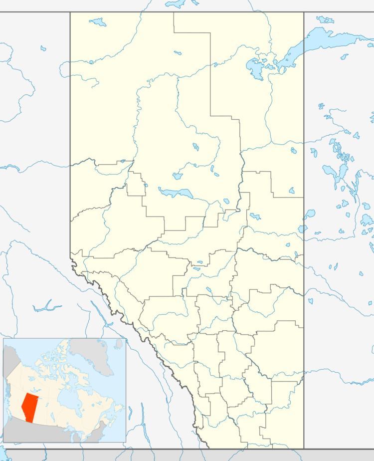
Map of Cluny, AB, Canada
The hamlet is located in census division No. 5 and in the federal riding of Crowfoot.
The hamlet takes its name from Parish of Cluny, in Scotland.
Demographics
As a designated place in the 2016 Census of Population conducted by Statistics Canada, Cluny recorded a population of 70 living in 32 of its 41 total private dwellings, a change of 7001167000000000000♠16.7% from its 2011 population of 60. With a land area of 0.69 km2 (0.27 sq mi), it had a population density of 101.4/km2 (262.8/sq mi) in 2016.
As a designated place in the 2011 Census, Cluny had a population of 60 living in 30 of its 41 total dwellings, a 0% change from its 2006 population of 60. With a land area of 0.58 km2 (0.22 sq mi), it had a population density of 103/km2 (268/sq mi) in 2011.