Population 552 (2011) Civil parish Clunbury Local time Tuesday 6:26 PM | OS grid reference SO371805 Dialling code 01588 | |
 | ||
Weather 7°C, Wind S at 16 km/h, 78% Humidity | ||
Clunbury is a village and civil parish in south Shropshire, England.
Contents
Map of Clunbury, Craven Arms, UK
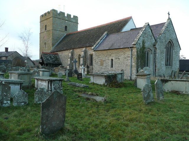
It is near to the small town of Clun and the villages of Clunton, Purslow and Aston on Clun. In the village is the Norman Church of St Swithin and a Church of England primary school.
The village lies between 145m and 155m above sea level. To the north the Clun and Kemp rivers flow, before meeting to the northeast. A lane runs up to the B4368 / B4385 crossroads at Little Brampton, and crosses these rivers by bridges.
In November 2007, Clunbury Primary School was awarded the Becta ICT Excellence Award for its use of technology.
References
Clunbury Wikipedia(Text) CC BY-SA
