
Time zone Eastern (EST) (UTC-5) GNIS feature ID 0583819 Area 10.1 km² Population 7,835 (2000) | FIPS code 24-18150 Elevation 159 m Zip code 20905 Area code Area codes 240 and 301 | |
 | ||
Country United States of America | ||
Cloverly is a census-designated place and an unincorporated town in Montgomery County, Maryland, United States.
Contents
Map of Cloverly, MD, USA
Geography
As an unincorporated area, Cloverly's boundaries are not officially defined. Many residents consider themselves to live in a neighborhood of Silver Spring, Maryland, the central area of which lies to the south. Cloverly is, however, recognized by the United States Census Bureau as a census-designated place, and by the United States Geological Survey as a populated place located at 39°6′11″N 76°58′35″W (39.102958, -76.976275).
According to the United States Census Bureau, the place has a total area of 3.9 square miles (10 km2), all of it land.
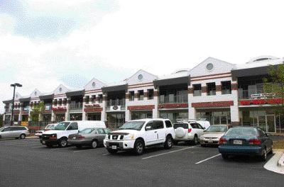
The commercial center of Cloverly lies at the intersection of New Hampshire Avenue (MD Route 650) and Briggs Chaney Road. Public schools for the area include Cloverly Elementary (which lies in the town), Briggs Chaney Middle, and the three high schools of the Northeast Consortium: James Hubert Blake High School, Paint Branch High School, and Springbrook High School.
2000
As of the census of 2000, there were 7,835 people, 2,492 households, and 2,113 families residing in the area. The population density was 2,004.7 people per square mile (773.7/km²). There were 2,540 housing units at an average density of 649.9/sq mi (250.8/km²). The racial makeup of the area was 61.52% White, 19.13% African American, 0.40% Native American, 14.05% Asian, 1.98% from other races, and 2.92% from two or more races. Hispanic or Latino of any race were 5.13% of the population.
There were 2,492 households out of which 43.7% had children under the age of 18 living with them, 71.4% were married couples living together, 9.8% had a female householder with no husband present, and 15.2% were non-families. 12.0% of all households were made up of individuals and 3.6% had someone living alone who was 65 years of age or older. The average household size was 3.14 and the average family size was 3.41.
In the area, the population was spread out with 29.0% under the age of 18, 7.4% from 18 to 24, 25.5% from 25 to 44, 29.2% from 45 to 64, and 8.9% who were 65 years of age or older. The median age was 39 years. For every 100 females there were 98.0 males. For every 100 females age 18 and over, there were 93.3 males.
The median income for a household in the area was $82,544, and the median income for a family was $88,370. Males had a median income of $51,377 versus $40,972 for females. The per capita income for the area was $31,123. About 2.5% of families and 3.4% of the population were below the poverty line, including 3.6% of those under age 18 and none of those age 65 or over.
Education
Montgomery County Public Schools operates public schools.
James Hubert Blake High School is within the Cloverly CDP.