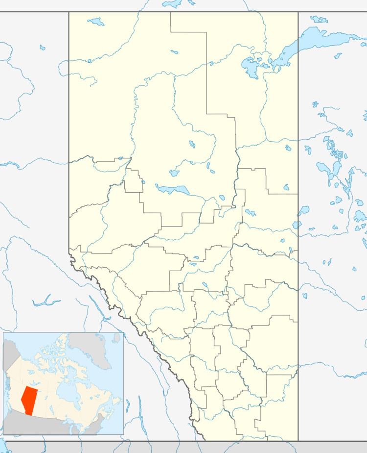
Country Canada Census division 8 Time zone MST (UTC-7) Area 212 ha Population 715 (2016) Local time Tuesday 3:26 AM | Highways Highway 12 Elevation 850 m Province Alberta | |
 | ||
Weather -17°C, Wind NW at 13 km/h, 80% Humidity | ||
Clive /ˈklaɪv/ is a village in central Alberta, Canada. It is located 15 minutes east of Lacombe and 30 minutes from Red Deer.
Contents
Map of Clive, AB, Canada
The village was named in honour of Robert Clive, Commander-in-Chief, India.
Demographics
In the 2016 Census of Population conducted by Statistics Canada, the Village of Clive recorded a population of 715 living in 286 of its 306 total private dwellings, a 7000590000000000000♠5.9% change from its 2011 population of 675. With a land area of 2.17 km2 (0.84 sq mi), it had a population density of 329.5/km2 (853.4/sq mi) in 2016.
In the 2011 Census, the Village of Clive had a population of 675 living in 252 of its 299 total dwellings, a 20.1% change from its 2006 population of 562. With a land area of 2.12 km2 (0.82 sq mi), it had a population density of 318.4/km2 (824.6/sq mi) in 2011.
The population of the Village of Clive according to its 2007 municipal census is 610.
In 2006, Clive had a population of about 562 living in 209 dwellings, a 4.9% decrease from 2001. The village has a land area of 2.12 square kilometres (0.82 sq mi) and a population density of 265.0/km2 (686/sq mi).
Services
The Village of Clive has a grocery store, two bars and numerous other services.
Education
Clive School is located on the north end of Clive, with about 250-300 students enrolled in kindergarten through grade nine.
Amenities
Clive has a skate park built beside the school. It includes two eight foot quarter pipes, two six foot quarter pipes, two four foot quarter pipes, a box, stairs, and a picnic table.
