
Time zone CST (UTC-6) Elevation 222 m Local time Tuesday 3:28 AM | Established November 2, 1858 ZIP codes 61727, 61777 Area 77.86 km² Population 7,832 (2010) | |
 | ||
Weather 11°C, Wind W at 16 km/h, 97% Humidity | ||
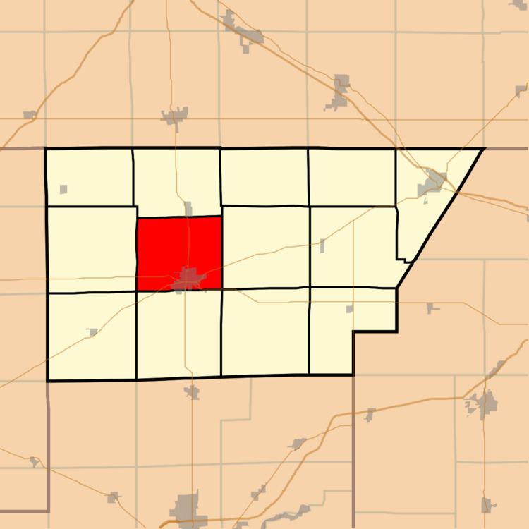
Clintonia Township is one of thirteen townships in DeWitt County, Illinois, USA. As of the 2010 census, its population was 7,832 and it contained 3,628 housing units. Clintonia Township changed its name from Clinton Township June 7, 1859.
Contents
- Map of Clintonia Township IL USA
- Geography
- Cities towns villages
- Cemeteries
- Major highways
- School districts
- Political districts
- References
Map of Clintonia Township, IL, USA
Geography
According to the 2010 census, the township has a total area of 30.06 square miles (77.9 km2), of which 30.04 square miles (77.8 km2) (or 99.93%) is land and 0.01 square miles (0.026 km2) (or 0.03%) is water.
Cities, towns, villages
Cemeteries
The township contains these four cemeteries: Memorial Park, Oak Park, Weaver and Woodlawn.
Major highways
School districts
Political districts
References
Clintonia Township, DeWitt County, Illinois Wikipedia(Text) CC BY-SA