
Country United States FIPS code 36-16287 Elevation 506 m Local time Tuesday 1:25 AM | State New York Time zone Eastern (EST) (UTC-5) GNIS feature ID 0978838 Population 751 (2010) | |
 | ||
Weather 3°C, Wind SE at 16 km/h, 54% Humidity Area 389.5 km² (349.9 km² Land / 39.37 km² Water) | ||
Clifton is a town in St. Lawrence County, New York, United States. The population was 751 at the 2010 census. The town takes its name from a mining company.
Contents
Map of Clifton, NY, USA
The Town of Clifton is in the south part of the county, within the Adirondack Park.
History
The first settlers came to work at the Clifton Iron Mine around 1866, which built its first iron furnace the same year.
The town was formed in 1868 from the Town of Pierrepont. The first town meeting was held in the office of the Clifton Iron Mine.
Early inhabitants arrived to work the local mines.
Geography
According to the United States Census Bureau, the town has a total area of 150.4 square miles (390 km2), of which, 135.1 square miles (350 km2) of it is land and 15.2 square miles (39 km2) of it (10.13%) is water.
Part of the south town line is the border of Hamilton County and Herkimer County.
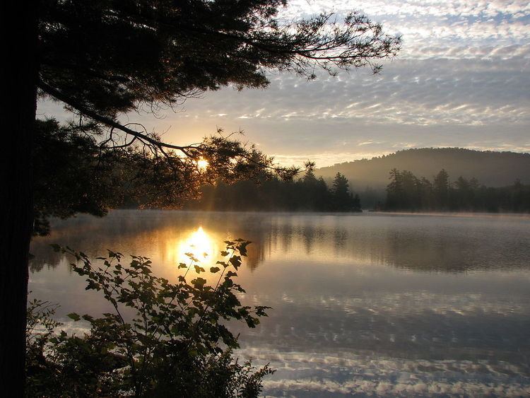
The Oswegatchie River flows through the town. Cranberry Lake, a large Adirondack lake occupies much of the eastern part of the town.
New York State Route 3 crosses the town as a major east-west highway.
Demographics
As of the census of 2000, there were 791 people, 323 households, and 215 families residing in the town. The population density was 5.9 people per square mile (2.3/km²). There were 775 housing units at an average density of 5.7 per square mile (2.2/km²). The racial makeup of the town was 96.08% White, 1.52% Native American, 0.88% from other races, and 1.52% from two or more races. Hispanic or Latino of any race were 1.52% of the population.
There were 323 households out of which 25.1% had children under the age of 18 living with them, 53.3% were married couples living together, 9.6% had a female householder with no husband present, and 33.4% were non-families. 26.9% of all households were made up of individuals and 13.6% had someone living alone who was 65 years of age or older. The average household size was 2.44 and the average family size was 2.90.
In the town, the population was spread out with 24.3% under the age of 18, 5.3% from 18 to 24, 25.4% from 25 to 44, 28.3% from 45 to 64, and 16.7% who were 65 years of age or older. The median age was 42 years. For every 100 females there were 101.3 males. For every 100 females age 18 and over, there were 95.8 males.
The median income for a household in the town was $33,950, and the median income for a family was $38,875. Males had a median income of $34,583 versus $23,500 for females. The per capita income for the town was $15,619. About 13.1% of families and 17.4% of the population were below the poverty line, including 25.8% of those under age 18 and 8.5% of those age 65 or over.