Elevation 656 m (2,152 ft) Time zone CET (UTC+1) Postal code 38023 | Demonym(s) Clesiani Area 39 km² Local time Tuesday 4:27 AM Dialling code 0463 | |
 | ||
Frazioni Mechel, Dres, Caltron, Maiano Weather 2°C, Wind N at 26 km/h, 56% Humidity Region Trentino-Alto Adige/South Tyrol | ||
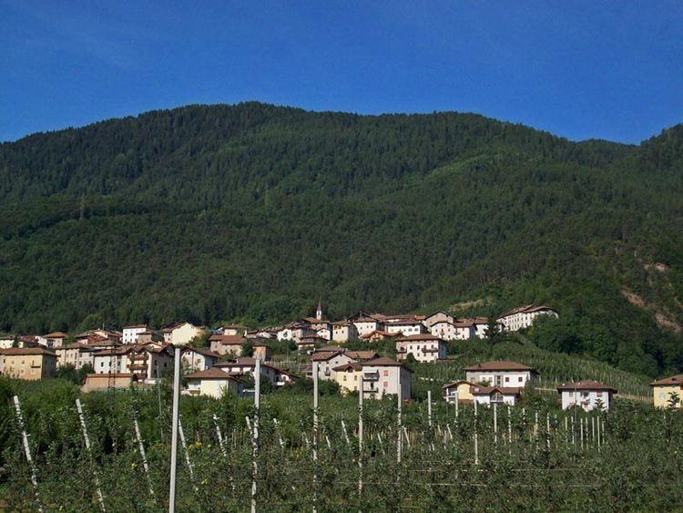
Cles (German: Glöß; Nones: Clés) is a town and comune in Trentino, in the Trentino-Alto Adige/Südtirol region of northern Italy.
Contents
Map of Cles, Province of Trento, Italy
Tabula clesiana
The Tabula clesiana is a bronze plate measuring 49.9 by 37.8 by 0.61 centimetres (19.65 by 14.88 by 0.24 in) that was discovered in 1869 at Campi Neri near Cles. It contains the edict of Caesar Claudius of 46 AD, which granted Roman citizenship to the Alpine peoples of the Anauni, Sinduni and Tulliasses. It is kept at the Castello del Buonconsiglio Museum in Trento.
The Tabula is an important evidence of the rapid assimilation by the Roman world of the Alpine peoples of farmers-hunters; but also from the point of view of the Roman law the first evidence of the introduction of delatores in the fiscal controversy. A translation of the Tabula is at https://books.google.com/books?id=c2dJAAAAMAAJ&pg=PA95#v=onepage&q&f=false .
