
Canton Ardres Local time Tuesday 4:25 AM | Area 6.39 km² | |
 | ||
Intercommunality Région d'Ardres et de la Vallée de la Hem Weather 5°C, Wind W at 14 km/h, 93% Humidity | ||
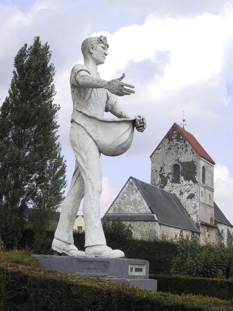
Clerques is a commune in the Pas-de-Calais department in the Hauts-de-France region of France.
Contents
Map of Clerques, France
Geography
A small farming village situated 10 miles (16 km) northwest of Saint-Omer, on the D217 road, nestled in the valley of the river Hem at the foot of the Boulonnais, which is a wooded ridge at this point. Two hamlets, Audenfort to the west and Le Hamel to the East, make up the remainder of the commune.
History
The recent history of the village was marked by the flooding of the river, on August 13, 2006. The stone bridge in the village centre, built in 1862, was destroyed after exceptional rainfall upstream at Licques. The river, usually quiet, had accumulated such a speed it turned into an uncontrollable torrent.
Places of interest
References
Clerques Wikipedia(Text) CC BY-SA