
Length 134 mi (216 km) N/S Area 22,012 km² Mountains Stripe Mountain | Elevation 9,001 ft (2,744 m) Width 106 mi (171 km) E/W Highest point Stripe Mountain | |
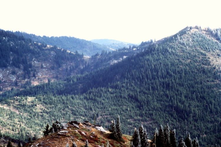 | ||
Panoramas of the clearwater mountains alaska
The Clearwater Mountains are part of the Rocky Mountains, located in the panhandle of Idaho in the Western United States. The mountains lie between the Salmon River and the Bitterroot Range and encompass an area of 8,499 square miles (22,012 km2).
Contents
North Clearwater Mountains
The North Clearwater Mountains is the northernmost and shortest subrange. The subrange is 4,321 square miles (11,191 km2) in area. Only two of its peaks — the 7,139-foot (2,176 m) Pot Mountain and the 7,077-foot (2,157 m) Black Mountain — rise above 7,000 feet (2,100 m).
Selway Crags
The Selway Crags lie between the North and South Clearwaters both in latitude and mean elevation. The Selway Crags encompass 885 square miles (2,292 km2) and its two highest peaks are the 8,282-foot (2,524 m) Grave Peak and the 7,424-foot (2,263 m) McConnell Mountain.
South Clearwater Mountains
The South Clearwater Mountains is the southernmost and tallest subrange, with 6 peaks above 8,000 feet (2,400 m). The South Clearwaters encompass 3,292 square miles (8,526 km2) and its two highest peaks are the 9,001-foot (2,744 m) Stripe Mountain and the 8,943-foot (2,726 m) Salmon Mountain.