
Country United States County Marion Area code(s) 620 Elevation 433 m Local time Monday 5:25 PM | State Kansas Time zone CST (UTC-06:00) FIPS code 20-13750 Area 196.8 km² Population 548 (2010) | |
 | ||
Weather 24°C, Wind SW at 50 km/h, 36% Humidity | ||
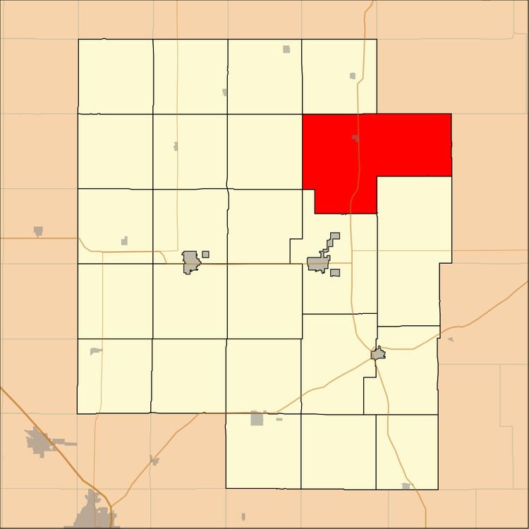
Clear Creek Township is a township in Marion County, Kansas, United States. As of the 2010 census, the township population was 548, including the city of Lincolnville, and unincorporated communities of Antelope and east side of Pilsen.
Contents
Map of Clear Creek, KS, USA
Geography
Clear Creek Township covers an area of 76 square miles (196.8 km2).
Communities
The township contains the following settlements:
Cemeteries
The township contains the following cemeteries:
Transportation
U.S. Route 77 pass through the township.
References
Clear Creek Township, Marion County, Kansas Wikipedia(Text) CC BY-SA