
Country United States GNIS feature ID 2584759 Area 53 ha Local time Monday 4:26 PM | Founded 1870s Elevation 2,665 m Population 4 (2010) | |
 | ||
Weather -7°C, Wind W at 29 km/h, 59% Humidity | ||
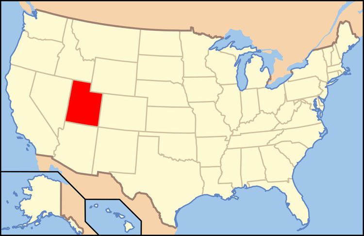
Clear Creek is a small census-designated place in Carbon County, Utah, United States. It is located at the south end of State Route 96 and the Pleasant Valley Branch of the Union Pacific Railroad (ex-D&RGW).
Contents
Map of Clear Creek, UT 84526, USA
History
Clear Creek was founded in the 1870s as a logging camp that supplied lumber to the nearby mining town of Winter Quarters. About twenty years after Clear Creek was founded, coal was discovered beneath the town and a mine was developed. In 1898, the Denver and Rio Grande Western Railroad built a spur line from Scofield to the mine at Clear Creek. Two years later, the Utah Fuel Company built 25 homes, a hotel, a store, a hospital, a schoolhouse, a workshop, and a water plant in the town. From 1910-1920, 2,000 tons of coal was being mined per day, and Clear Creek had about 600 residents. In 1930, the need for coal began to decrease, and by 1955, the mine had cut production and the town's population had decreased to 150. According to the 2010 Census, there were four people residing in town.
The town is currently used as a recreation and camp area for various schools and programs, with cabins, a restroom and shower area, and a recreation and eating area.
Climate
Clear Creek, Utah has an alpine subarctic climate ( Köppen climate classification 'Dfc' ) with enormous yearly snowfall in its long, cold winters due to its location in the Wasatch Range.