
Population 11,625 (2011 census) Postal code 3169 | Postcode(s) 3169 Area 8.3 km² Local time Tuesday 9:26 AM | |
 | ||
Weather 19°C, Wind E at 21 km/h, 61% Humidity Federal divisions Division of Chisholm, Division of Hotham | ||
Clayton South is a suburb in Melbourne, Victoria, Australia, 21 km south-east from Melbourne's central business district. Its local government area is the City of Kingston. At the 2011 Census, Clayton South had a population of 11,625.
Contents
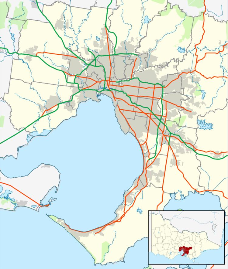
Map of Clayton South VIC 3169, Australia
The suburb sometimes goes by the name Westall, due to the name of the main road and the railway station that serve the area. Westall is not, however, an official name, and all post addressed to the area is addressed to Clayton South.
History
Clayton South Post Office opened on 15 July 1929 and closed in 1976. Westall Post Office opened in 1960 near the station and closed in 1971.
The Westall UFO sighting was recorded 6 April 1966, and took place in the area.
Transport
Westall Road runs north to south through Westall. There is a large bridge over the railway line. Several bus routes pass through the suburb and drop passengers off at the shops near the Westall railway station.
Schools
Retail
There are several shops on Rosebank Avenue, including a post office, newsagency, milkbar, bottle shop, computer store and fast food outlets.
Sport
Golfers play at the course of the Spring Valley Golf Club on Heatherton Road.