
Population 10,006 (2011 census) Area 2.9 km² | Postcode(s) 4011 Postal code 4011 | |
 | ||
Location 7 km (4 mi) from Brisbane CBD | ||
Clayfield is an inner northern suburb in the City of Brisbane, Queensland, Australia. It is approximately 7 kilometres (4 mi) from the Brisbane CBD. Clayfield is bordered to the north by Nundah, to the East by Ascot and Hendra, to the west by Wooloowin and to the South by Albion.
Contents
- Map of Clayfield QLD 4011 Australia
- Demographics
- Heritage listings
- Transport
- Education
- Places of worship
- Notable residents
- References
Map of Clayfield QLD 4011, Australia
Its name derives from the fine white-grey sedimentary clay mined in Albion, between Morgan and Sykes Street, used in the brickworks that once existed between Oriel Road and Reeve Street near Sandgate Road. This industry, once known as "the clay fields", was instrumental in the residential surge of European settlement of inner-north Brisbane.
Kalinga Park and the Kalinga locality lay on the northern limit. Clayfield also encompasses the locality of Eagle Junction.
Demographics
In the 2011 census, Clayfield recorded a population of 10,006 people, 52.6% female and 47.4% male.
The median age of the Clayfield population was 34 years of age, 3 years below the Australian median.
70.3% of people living in Clayfield were born in Australia, compared to the national average of 69.8%; the next most common countries of birth were New Zealand 3.7%, England 3.6%, India 2.5%, Philippines 0.8%, China 0.8%.
81.9% of people spoke only English at home; the next most popular languages were 1% Italian, 1% Mandarin, 0.7% Punjabi, 0.7% Korean, 0.7% Hindi.
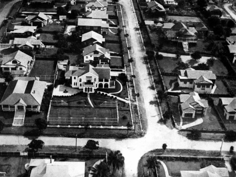
Heritage listings
Clayfield has a number of heritage-listed sites, including:
Transport
Clayfield was served by an electric tram line which ran along Sandgate Road until its closure on 13 April 1969. It is now served by bus and train services from the nearby Clayfield railway station and Eagle Junction railway station. Along the capital road (Alexandra Road), a canopy of poinciana and oak trees produce a 'New England' canopy effect.
Education
Schools located within Clayfield include:
Other schools that serve the Clayfield area include:
Places of worship
Churches that are located in Clayfield include: