
GNIS feature ID 453217 Area 62.03 km² Population 349 (2010) | ZIP codes 47567, 47640 Elevation 141 m Local time Monday 4:53 PM | |
 | ||
Weather 16°C, Wind S at 27 km/h, 84% Humidity | ||
Clay Township is one of nine townships in Pike County, Indiana, United States. As of the 2010 census, its population was 349 and it contained 156 housing units.
Contents
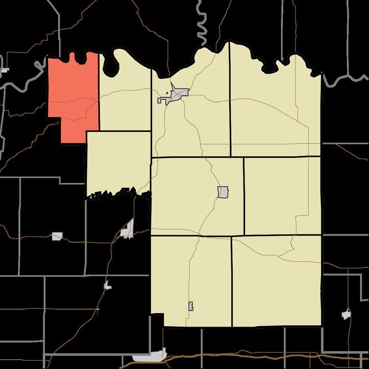
- Map of Clay Township IN USA
- Geography
- Unincorporated towns
- Cemeteries
- School districts
- Political districts
- References
Map of Clay Township, IN, USA
As of the 2010 census, the United States Census Bureau reported that 2010 median center of population of the United States was in Clay Township, 7.1 miles (11.4 km) southwest of Petersburg.
Geography
According to the 2010 census, the township has a total area of 23.95 square miles (62.0 km2), of which 23.58 square miles (61.1 km2) (or 98.46%) is land and 0.37 square miles (0.96 km2) (or 1.54%) is water. The White River defines the north border of the township, as well as the north border of Pike County.
Unincorporated towns
(This list is based on USGS data and may include former settlements.)
Cemeteries
The township contains these five cemeteries: Bethlehem, Catt, Frederick, Independent Order of Odd Fellows and Odd Fellows.