
Country United States GNIS feature ID 453213 Local time Monday 4:52 PM | FIPS code 18-13132 Elevation 280 m Population 3,424 (2010) | |
 | ||
Weather 12°C, Wind S at 26 km/h, 86% Humidity Area 93.76 km² (93.6 km² Land / 13 ha Water) | ||
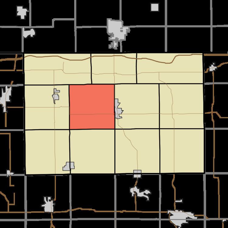
Clay Township is one of eleven townships in LaGrange County, Indiana. As of the 2010 census, its population was 3,424 and it contained 936 housing units.
Contents
Map of Clay Township, IN, USA
Geography
According to the 2010 census, the township has a total area of 36.2 square miles (94 km2), of which 36.14 square miles (93.6 km2) (or 99.83%) is land and 0.05 square miles (0.13 km2) (or 0.14%) is water.
References
Clay Township, LaGrange County, Indiana Wikipedia(Text) CC BY-SA