
Country United States GNIS feature ID 453207 Local time Monday 4:50 PM | FIPS code 18-13024 Elevation 265 m Population 2,966 (2010) | |
 | ||
Weather 14°C, Wind S at 18 km/h, 83% Humidity Area 65.53 km² (65.4 km² Land / 13 ha Water) | ||
Clay Township is one of fourteen townships in Dearborn County, Indiana. As of the 2010 census, its population was 2,966 and it contained 1,271 housing units.
Contents
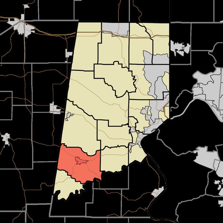
Map of Clay Township, IN, USA
History
Clay Township was organized in 1835.
Geography
According to the 2010 census, the township has a total area of 25.3 square miles (66 km2), of which 25.25 square miles (65.4 km2) (or 99.80%) is land and 0.05 square miles (0.13 km2) (or 0.20%) is water.
Cities and towns
Major highways
Cemeteries
The township contains four cemeteries: Conaway, Oakdale, Spangler and Windsor.
References
Clay Township, Dearborn County, Indiana Wikipedia(Text) CC BY-SA