
Country United States GNIS feature ID 0766221 Area 117.4 km² Population 259 (2010) | FIPS code 29-14266 Elevation 289 m Local time Monday 3:49 PM | |
 | ||
Weather 24°C, Wind S at 50 km/h, 49% Humidity | ||
Clay Township is one of ten townships in Andrew County, Missouri, United States. As of the 2010 census, its population was 259.
Contents
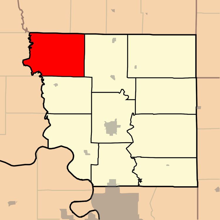
Map of Clay Township, MO, USA
The township was named after Henry Clay, a Kentucky statesman.
Geography
Clay Township covers an area of 45.35 square miles (117.5 km2) and contains no incorporated settlements.
The streams of Newland Creek, Owl Creek and Pedlar Creek run through this township.
Transportation
Clay Township contains one airport, Lazy W Farms Airport.
References
Clay Township, Andrew County, Missouri Wikipedia(Text) CC BY-SA