
Country United States Time zone CST (UTC-6) Elevation 131 m Zip code 62824 Population 1,287 (2010) | Established November 5, 1861 GNIS feature ID 0428816 Area 105.8 km² Local time Monday 3:35 PM | |
 | ||
Weather 16°C, Wind S at 34 km/h, 92% Humidity | ||
Clay City Township is one of twelve townships in Clay County, Illinois, USA. As of the 2010 census, its population was 1,287 and it contained 649 housing units.
Contents
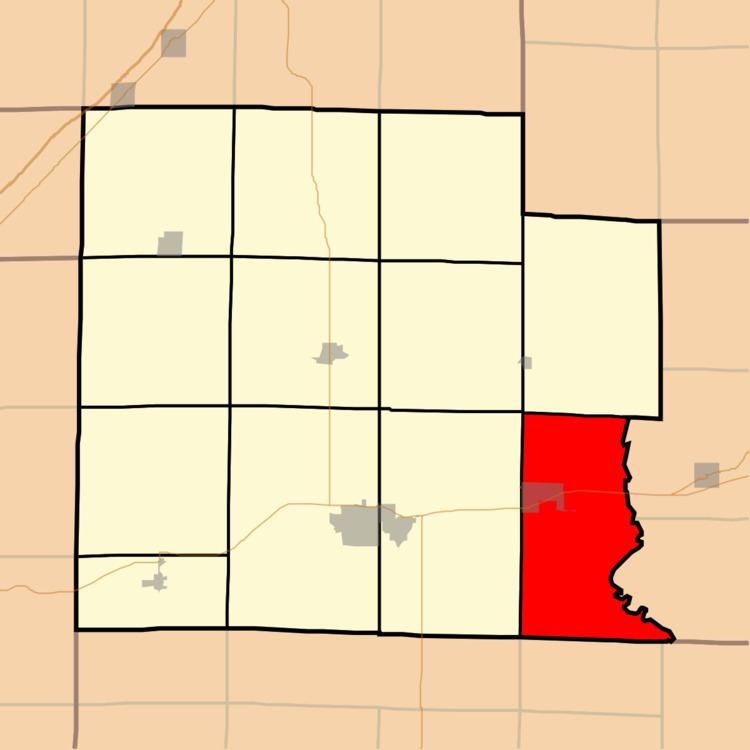
- Map of Clay City Township IL USA
- Geography
- Cities towns villages
- Unincorporated towns
- Cemeteries
- Major highways
- Lakes
- School districts
- Political districts
- References
Map of Clay City Township, IL, USA
Geography
According to the 2010 census, the township (T2&3N R8E) has a total area of 40.84 square miles (105.8 km2), of which 40.29 square miles (104.4 km2) (or 98.65%) is land and 0.55 square miles (1.4 km2) (or 1.35%) is water.
Cities, towns, villages
Unincorporated towns
(This list is based on USGS data and may include former settlements.)
Cemeteries
The township contains these three cemeteries: Barnes, Clay City and Travis.
Major highways
Lakes
School districts
Political districts
References
Clay City Township, Clay County, Illinois Wikipedia(Text) CC BY-SA