
OS grid reference SJ2519 Country Wales Postcode district CF Local time Monday 9:26 PM | Sovereign state United Kingdom | |
 | ||
Weather 6°C, Wind W at 29 km/h, 83% Humidity | ||
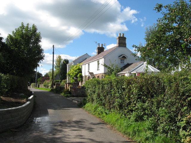
Clawdd Coch (also Clawdd-coch or Clawddcoch) is a hamlet in the Vale of Glamorgan. It lies to the northeast of Tredodridge in the parish of Pendoylan. It is located near the edge of the Vale of Glamorgan Golf Club and Hensol Castle.
Contents
Map of Clawdd-c%C3%B4ch, Cowbridge, UK
Etymology
It translates as "Red Ridge", coch being the Welsh language word for "red".
History
Clawdd Coch is documented as having some degree of importance as a Roman settlement and it is believed to be the final resting place of Ostorius. One of the roads leading into the hamlet was built by the Romans, known as Via Media. A notable smelting operation of lead and copper took place in the vicinity at what was known as "Dol-y-felin-blwm".
In the mid 19th century, the hamlet was known to be owned by a Mr. Asterley who farmed the land here. Presumably he lived in what is Clawdd Coch guest house, a long farmhouse which was built in the 1650s. It was a favourite of Ivor Novello, who would often spend relaxing weekends here, to gain inspiration for his works. It underwent renovation in 1988.