Local time Monday 7:38 PM | Province Province of Pavia | |
 | ||
Weather 11°C, Wind NE at 10 km/h, 76% Humidity | ||
Tr gq bond de la maletiere ve clastidium brenda o lu arondan kisa ko u antremani
Clastidium (modern Casteggio), was a village of the Anamares, in Gallia Cispadana, on the Via Postumia, 5 miles east of Iria (modern Voghera) and 31 miles west of Placentia.
Contents
- Tr gq bond de la maletiere ve clastidium brenda o lu arondan kisa ko u antremani
- Map of 27045 Casteggio Province of Pavia Italy
- Clastidium il passato che riemerge
- References
Map of 27045 Casteggio, Province of Pavia, Italy
Here in 222 BC, Marcus Claudius Marcellus defeated the Gauls and won the spolia opima; in 218 BC, Hannibal took it and its stores of corn by treachery. It never had an independent government, and not later than 190 BC was made part of the colony of Placentia, founded in 219 BC.
In the Augustan division of Italy, however, Placentia belonged to the 8th region, Aemilia, whereas Iria certainly, and Clastidium possibly, belonged to the 9th region, Liguria (see Theodor Mommsen in Corp. Inscrip. Lat. vol. v. Berlin, 1877, p. 828).
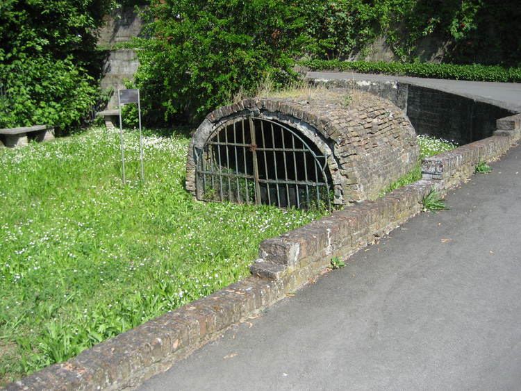
The remains visible at Clastidium are scanty; there is a fountain (the Fontana d'Annibale), and a Roman bridge, which seems to have been constructed of tiles, not of stone, was discovered in 1857, but destroyed.
