
Elevation 3,267 m Prominence 413 m | First ascent 13 August 1863 | |
 | ||
Similar Tödi, Schärhorn, Gemsfairenstock, Gross Windgällen, Gross Ruchen | ||
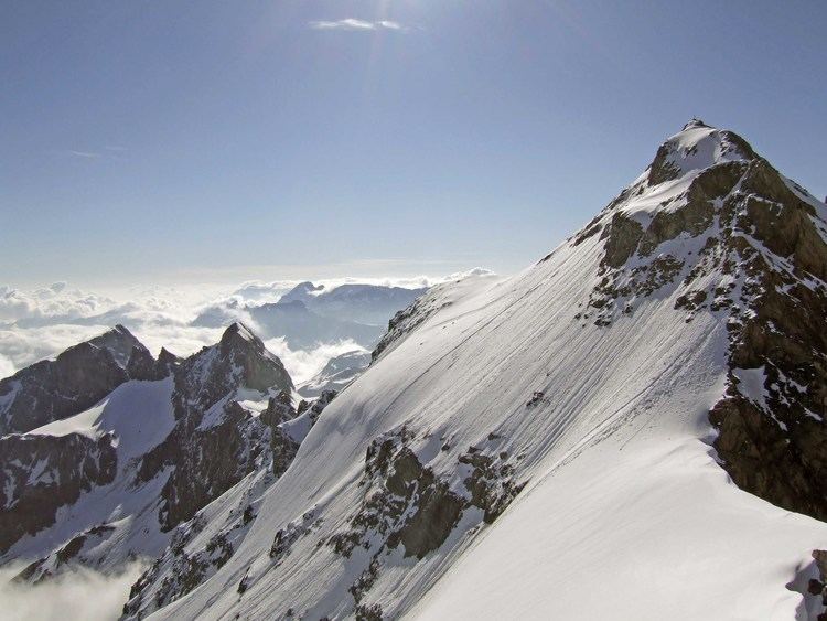
The Clariden is a mountain in the Glarus Alps, located at an elevation of 3,267 m (10,719 ft) between the Swiss cantons of Uri and Glarus. While on the north the Clariden overlooks the 1,948 m (6,391 ft) high Klausen Pass, the south side is covered by large glaciers. The Hüfi Glacier on the west is drained by the Chärstelenbach stream, a tributary of the Reuss that eventually flows into Lake Lucerne. The Clariden Glacier on the east is drained by the Linth that eventually flows into Lake Zürich.
Map of Clariden, 6473 Silenen, Switzerland
The mountain lies in the municipalities of Silenen and Spiringen, in the canton of Schwyz, and Glarus Süd, in the canton of Glarus. The nearest settlements are the villages of Unterschächen to the north-west, and Linthal to the north-east, which lie at each end of the Klausen Pass.