
Country United States County Erie Time zone Eastern (EST) (UTC-5) Elevation 215 m Population 2,646 (2010) | State New York Area code(s) 716 Area 7.54 km² | |
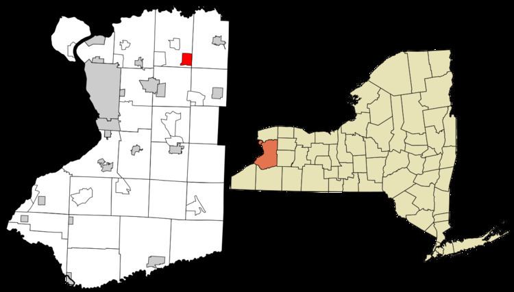 | ||
Clarence is a hamlet and census-designated place (CDP) within the town of Clarence in Erie County, New York, United States. The population was 2,646 at the 2010 census.
Clarence is part of the Buffalo–Niagara Falls Metropolitan Statistical Area.
Geography
The Clarence CDP is located at 42°58′49″N 78°35′30″W (42.98054, -78.59177), in the southeastern part of the town of Clarence. New York State Route 5, Main Street, passes east–west through the center of the CDP.
The hamlet is also called "Clarence Hollow", or just "The Hollow", due its location centered at the base of an indentation in the Onondaga Escarpment formed by Ransom Creek. The Clarence Historical Society is located on Main Street. During the time of its founding, Clarence village was called "Pine Grove" and later "Ransomville".
According to the United States Census Bureau, the CDP has a total area of 2.91 square miles (7.54 km2), of which 2.85 square miles (7.37 km2) is land and 0.066 square miles (0.17 km2), or 2.23%, is water.