
Area 27.55 km² Population 152 (1999) | Canton La Courtine Time zone CET (UTC+1) Local time Monday 11:31 AM | |
 | ||
Weather 8°C, Wind W at 40 km/h, 79% Humidity | ||
Clairavaux is a commune in the Creuse department in the Nouvelle-Aquitaine region in central France.
Contents
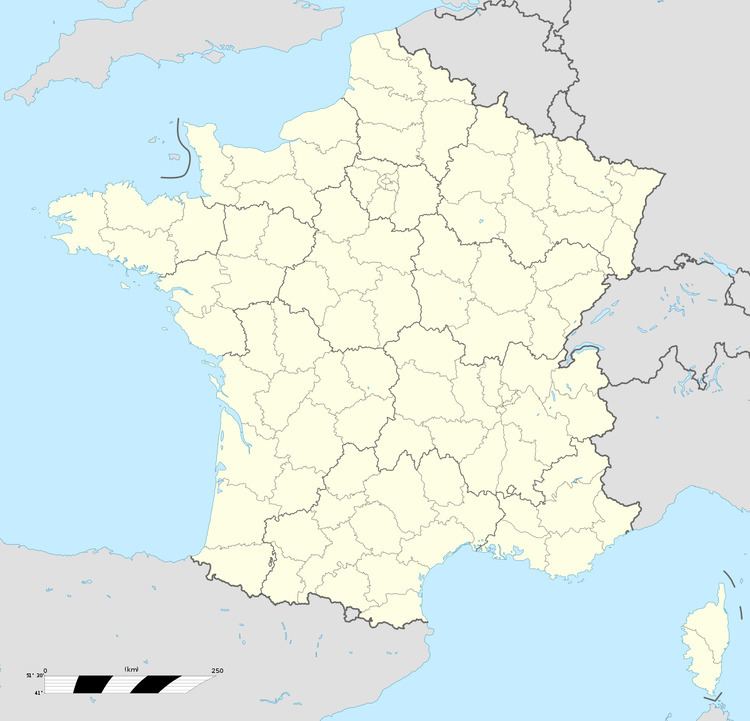
Map of 23500 Clairavaux, France
Geography
A small forestry and farming village situated by the banks of the Creuse River, some 13 miles (21 km) south of Aubusson at the junction of the D31 and the D982 roads.
Sights
The French Ministry of Culture lists several historic monuments in Clairavaux:
A memorial commemorates two members of the French Resistance, killed by the Wehrmacht on 14 July 1944 at Clairavaux.
References
Clairavaux Wikipedia(Text) CC BY-SA