Population 20 estimate Sovereign state United Kingdom Postcode district DG9 Local time Monday 9:37 AM | Post town Stranraer Dialling code 01776-860 | |
 | ||
Weather 7°C, Wind W at 8 km/h, 82% Humidity Lieutenancy areas | ||
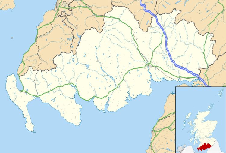
Clachanmore is a village in the South Rhins of Galloway near Ardwell in the south west of Scotland. It has also been known as Low Ardwell.
Map of Clachanmore, Stranraer, UK
The name of the village means 'big village' (Clachan Mòr, in Gaelic) and may derive from a stone circle that formerly stood there; there are remains of a circular enclosure on Barrack Knowe near High Clachanmore farmhouse.
Clachanmore school is the most prominent building in the village. The building dates to 1831 and was the school for Ardwell. There is a small schoolmaster's house next door. Until 2003 it was an art gallery; it is now a private house.
References
Clachanmore Wikipedia(Text) CC BY-SA
